e-shop
.jpg)
Brands

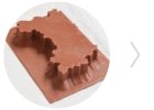
Get a custom-made folding contour model of the landscape with your school's logo for the classroom. Choose which area you want to craft. We will...

Understanding contours and reading heights on a map is often a challenge not only for children. But with this tool, everyone can do it. The...

The Queen of Maps is the Montessori World Map, our first and most popular map ever. Big, beautiful, original. Designed by Maria Montessori, the...

In addition to the world map, you can't miss the Big Map of the Czech Republic in your map kit. A detailed educational map with a detailed...

Discover the fascinating world of Antarctica with a detailed map that is an ideal addition to any school classroom. Properties: Large...

Discover the fascinating world of the Arctic with a detailed map that is an ideal addition to any school classroom. Properties: Large...

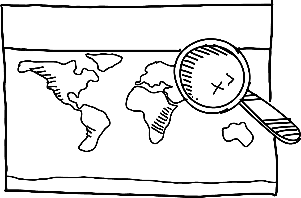
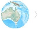
A large educational map of the world with national borders and a basic geographical network. Working with the map, children will better...

Set of fourteen coloured landscape shapes. This time we focused on shapes that were created by natural forces. The set contains: Canyon,...

The map of Slovakia is slightly different from the other maps we have produced so far: it also includes basic geographical terms in slovakian...

Provide the classroom with transparent weather strips with marked parallel lines. You can use the tool when working with Montessori or the Classic...

A set of seven large format durable continent maps for use in classroom. The detailed continent maps show national boundaries and geographical...
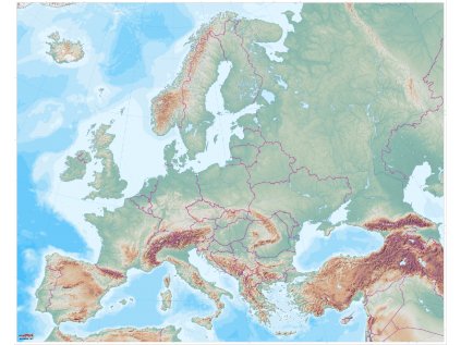
Not satisfied with the detail of a world map and would like a closer look at the Earth's surface? Along with a world map, continent maps are...

Discover the surroundings of your school with the help of three maps that we will create specifically for your school. In the package you...

Etna Hekla Vesuv Krakatoa Tambora Pinatubo Novarupta Kamerunská hora Mont Pelée Cotopaxi Mauna Kea.... all the beauties have a volcanic cloud!...

Explore the relief of the Czech Republic using a small helper for the classroom: 3D maps of the Czech Republic. The map is white and can be...

Get a map of the Czech Republic in reduced A3 format, ideal for use on the school desk! The map is without labels for children to describe...

Three-fold cards with land and water shapes are perfect for working with a large world map. For each land shape, the cards include an example and...

Not satisfied with the detail of a world map and would like a closer look at the Earth's surface? Along with a world map, continent maps are...

Not satisfied with the detail of a world map and would like a closer look at the Earth's surface? Along with a world map, continent maps are...

In total, the atlas contains 13 thematic map sheets. The tool contains: Background map of the world. Transparent layers of the world's...

A tool for the first and second three years, or for children in the first grade. Children search where rivers, mountains and cities are located and...

Not satisfied with the detail of a world map and would like a closer look at the Earth's surface? Along with a world map, continent maps are...

Not satisfied with the detail of a world map and would like a closer look at the Earth's surface? Along with a world map, continent maps are...

Not satisfied with the detail of a world map and would like a closer look at the Earth's surface? Along with a world map, continent maps are...

Explore the relief of the Czech Republic using a small helper for the classroom: 3D maps of the Czech Republic. The map is white and can be...

Termselect a variant below Place ONLINE - webinar (Google Meet)The link will be emailed the day before the webinar. We will also send you a...

Datechoose an option below PlaceONLINE - webinar (Google Meet)We will send the link by e-mail the day before the webinar (until 18:00). Target...

Discover the red planet with our detailed map of Mars, the perfect tool for learning and fun! We also offer a map of Mars with English or German...

Discover the fascinating world of the British Isles with a detailed map that is the ideal addition to any classroom or language classroom. The map...

Discover the fascinating world of the USA with a detailed map that is the ideal addition to every classroom and language classroom. The map...