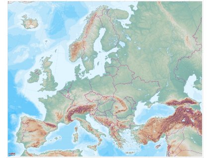
Large map of the Czech Republic
In addition to the world map, you can't miss the Big Map of the Czech Republic in your map kit.
A detailed educational map with a detailed representation of the relief, where all the Czech and Moravian mountain ranges stand out.
It is suitable for group work of children. The map without labels allows you to place your own labels, create your own thematic layers over the map and tell geographical stories.
The map is printed on a plastic sheet with buttons, which can withstand the increased load of children and can be used even during outdoor learning.
The map is at a scale of 1 : 300 000 and measures 166 x 96 cm.
| Category: | e-shop |
|---|---|
| Velikost: | 166 x 96 cm |
| Materiál: | umělohmotná plachta s druky na zavěšení |
| Popisovatelná: | ne |
| Měřítko: | 1 : 300 000 v rozlišení 25 x 25 m |
| Lze zavěsit: | ano |
| Lze srolovat: | ano |
| Prodloužená záruka 3 roky: | ano |


When ordering a map of the Czech Republic you will receive:
Map of the Czech Republic
A describable printed map of the Czech Republic in A3 size
Why buy maps from MAPUiTO?
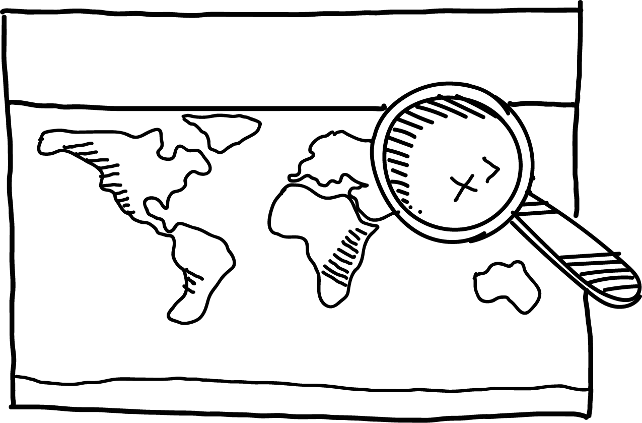
The maps excel in quality of display, you can see even the smallest details and underwater relief.
We produce large and durable maps that children can walk, run, work independently or in a group.
Connecting geography and learning. The maps are produced by a Montessori teacher and a physical geographer with many years of experience in geoinformatics systems.
New tools are invented together with teachers.
Lots of free supplementary materials. We create free supplementary worksheets for the maps. You can also look forward to 3D aids.
Family production for us means maximum commitment to you and attention to your requirements. We produce customized maps.
We care about the environment. Every month we plant a tree in cooperation with Arnika. We try to avoid unnecessary plastics in packaging and use paper adhesive tapes. We print all maps in the Czech Republic. We are always looking for more environmentally friendly ways to print maps and the material meets the Reach Directive.


-
 Slepá mapa Česka (města, kraje) (85 kB)
-
Slepá mapa pohoří Česka (26.4 kB)
-
Slepá mapa Česka a okolních států (917.1 kB)
o Mapuito
 Tatiana Spáčilová
 Eva
Eva