Help for the World Map. Many thanks to Mrs. Mgr. Miroslava Paličková from Křišt'ál Primary School, who made the cards and made them available for download. Do you also have interesting cards for the world map? Send them to us. Thank you in advance for enriching the teaching community!
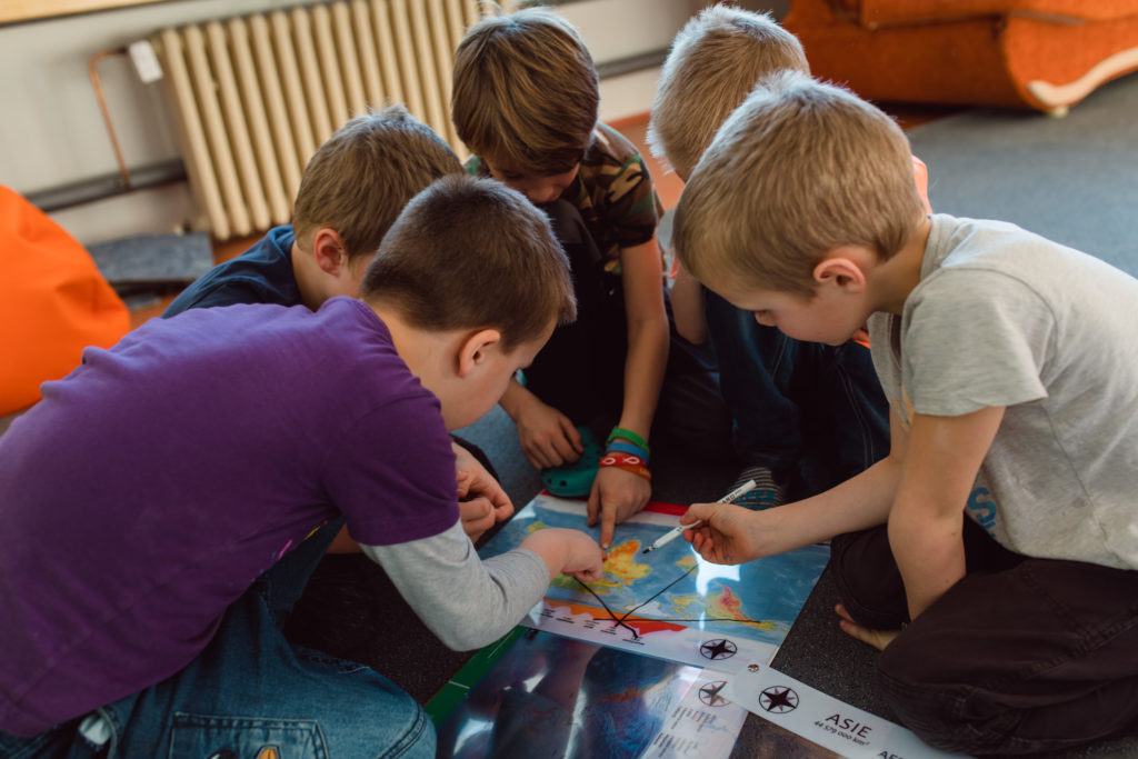
This time the children placed the names of countries on the map and used an atlas to determine their location. Afterwards, they chose two countries that interested them and about which they had little information and searched for basic information and interesting facts about them on the Internet. In the downloadable file, just click on the country and a link to Wikipedia will open. .
This time the children placed the names of countries on the map and used an atlas to determine their location. Afterwards, they chose two countries that interested them and about which they had little information and searched for basic information and interesting facts about them on the Internet. In the downloadable file, just click on the country and a link to Wikipedia will open. .
The cards were created by Mrs. Paličková from the Crystal Elementary School, who gave us permission to publish them.
Why buy maps from MAPUiTO?
The maps are excellent in quality of display, you can see even the smallest details and underwater relief.
We produce large and durable maps that children can walk, run, work independently or in a group.
Connecting geography and learning. The maps are produced by a Montessori teacher and also a physical geographer with many years of experience in geoinformatics systems.
Lots of free supplementary materials. We are always creating more and more worksheets to go with the maps.
Family production for us means maximum commitment to you and attention to your requirements. We also produce customized maps.
We care about the environment. Every month we plant a tree in cooperation with Arnika. We try to avoid unnecessary plastics in packaging and use paper adhesive tapes. We print all maps in the Czech Republic. We are always looking for more environmentally friendly ways to print maps and the material meets the Reach Directive.
We support local production. The wood we use is processed by a local company.