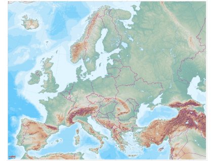
The large map map of Asia
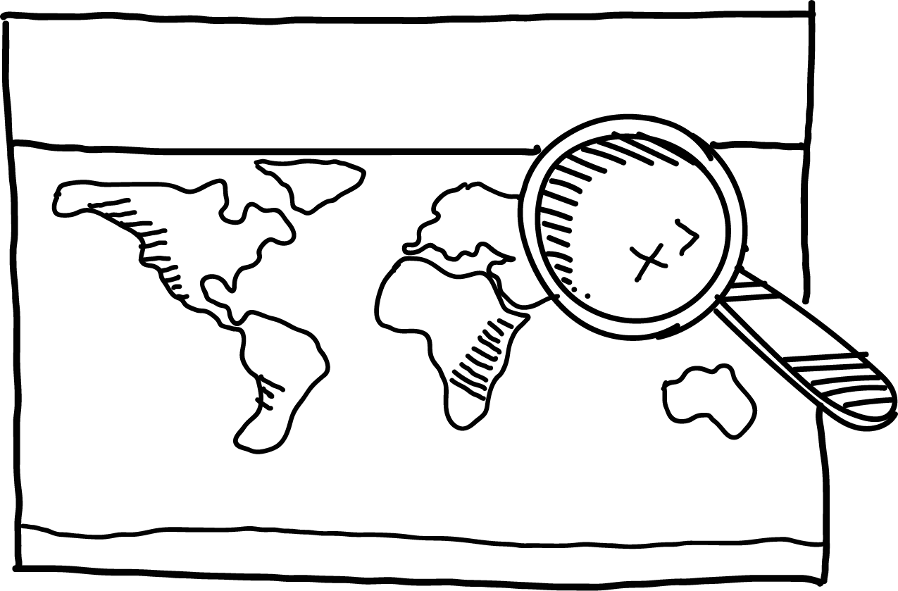
Not satisfied with the detail of a world map and would like a closer look at the Earth's surface? Along with a world map, continent maps are definitely worth having.
With a large map of Asia, you get a large-scale, detailed relief image of the entire continent.
In some ways, continental maps are more appealing than the more commonly known world map. The vast majority of children already know the picture of the world as a whole. But the surface details of the continents tend to be a real discovery for children!
The map is suitable for group work in the classroom and as a basis for presentations, reports and key lessons. After use, the map can be rolled up or hung on the wall.
For easier orientation, the map includes national borders and a geographical grid. It is printed on a plastic sheet that is very durable and can withstand increased load. The map includes buttons for hanging. If it gets dirty, just wipe it with a damp cloth.
The map has a scale of 1:6 000 000 and measures 155 x 173 cm.
| Category: | e-shop |
|---|


Why get maps from MAPUiTO?
The maps excel in display quality, you can see even the smallest details and underwater relief.
We produce large and durable maps that children can walk, run, work independently or in a group.
Connecting geography and learning. The maps are produced by a Montessori teacher and a physical geographer with many years of experience in geoinformatics systems.
New tools are invented together with teachers.
Lots of free supplementary materials. We create free supplementary worksheets for the maps. You can also look forward to 3D aids.
Family production for us means maximum commitment to you and attention to your requirements. We produce customized maps.
We care about the environment. Every month we plant a tree in cooperation with Arnika. We try to avoid unnecessary plastics in packaging and use paper adhesive tapes. We print all maps in the Czech Republic. We are always looking for more environmentally friendly ways to print maps and the material meets the Reach Directive.


 Lenka
Lenka