The Great Atlas of the World
In total, the atlas contains 13 thematic map sheets.
The tool contains:
- Background map of the world.
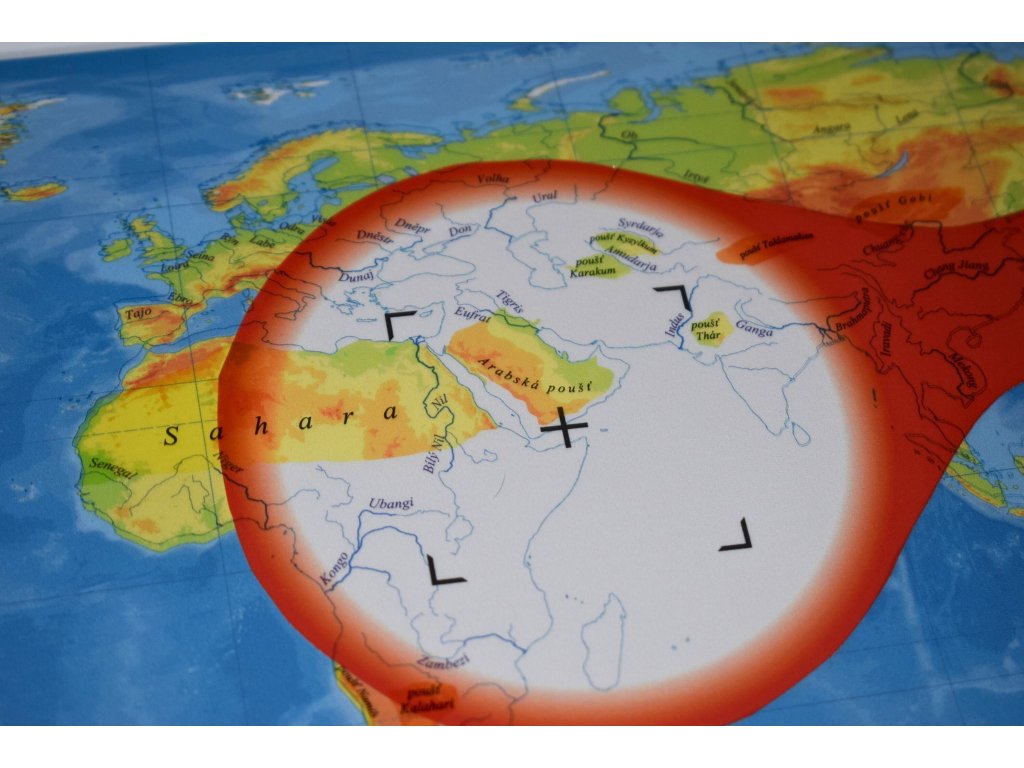
- Transparent layers of the world's mountain ranges, the world's highest peaks, the world's deserts, the world's rivers, islands, seas.
- Six control layers.
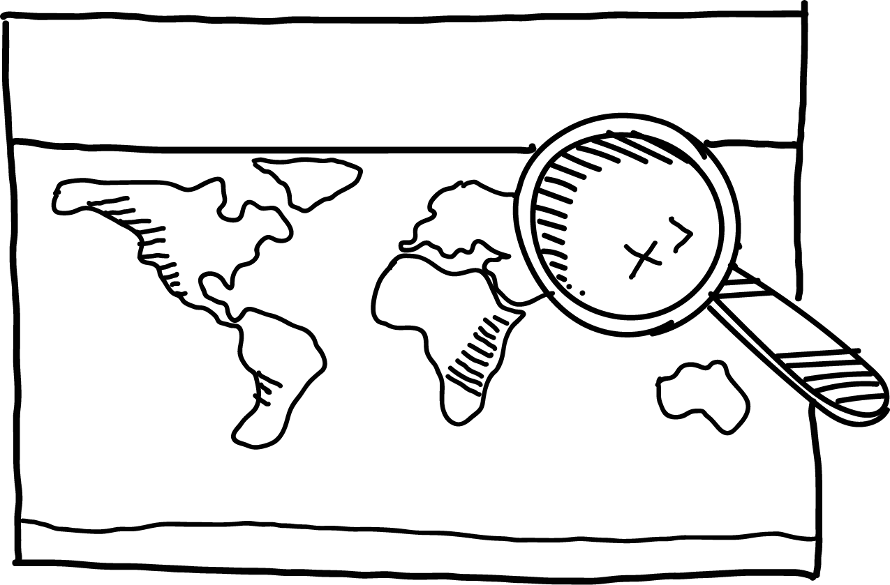
- A magnifying glass to explore each layer.
- A separate transparent layer of continents.
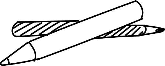
- Pilot thin-trace writing marker with replaceable refill with erasable sponge.
- Over three hundred basic geographic terms.
A special white paper magnifying glass effect separates the layer being explored from the map base and offers children unexpected diversification when working with the atlas.
Each map sheet is accompanied by a checklist with labels so children can work independently with the atlas.
The atlas is on a wooden base measuring 31 x 43 cm.
Thanks to the pins in the wooden base, the map sheets are firmly fixed in position.
| Category: | e-shop |
|---|


What do you get when you order an atlas for your classroom?
A clean, classic base map of the world.
A magnifying glass to explore each layer.
Transparent layers of the world's mountain ranges, the world's highest peaks, the world's deserts, the world's rivers, islands, seas.
A separate transparent layer of continents without a control layer.
Six transparent control layers.
The atlas is on a spruce wood base 31 x 43 cm (treated with harmless oil).
Pilot thin-trace writing marker with replaceable refill.
Sponge.
More than three hundred basic geographical concepts that children can learn very easily.
Thanks to you, we will plant a tree in the Poodrie every month. We produce the atlas locally.
Why buy maps from MAPUiTO?
The maps stand out for the quality of the display, you will see even the smallest details and underwater relief on them.
We produce large and durable maps that children can walk, run, work independently or in a group.
Connecting geography and learning. The maps are produced by a Montessori teacher and a physical geographer with many years of experience in geoinformatics systems.
New tools are invented together with teachers.
Lots of free supplementary materials. We create free supplementary worksheets for the maps. You can also look forward to 3D aids.
Family production for us means maximum commitment to you and attention to your requirements. We produce customized maps.
We care about the environment. Every month we plant a tree in cooperation with Arnika. We try to avoid unnecessary plastics in packaging and use paper adhesive tapes. We print all maps in the Czech Republic. We are always looking for more environmentally friendly ways to print maps and the material meets the Reach Directive.


Velký atlas světa v akci
 Lenka
Lenka
 Martina


