3D contour tool
Understanding contours and reading heights on a map is often a challenge not only for children. But with this tool, everyone can do it.
The ideal tool for understanding contours and representing the earth's relief on maps.
Children will understand the difference between a valley and a mountain ridge, between a saddle and a gorge, for example.
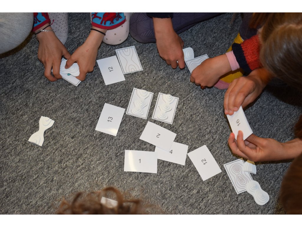
A set of forty contour and elevation profile cards plus a set of twenty corresponding 3D relief models.
The set also includes four worksheets.
Each card and 3D model contains a number for children to check for accuracy.
| Category: | e-shop |
|---|


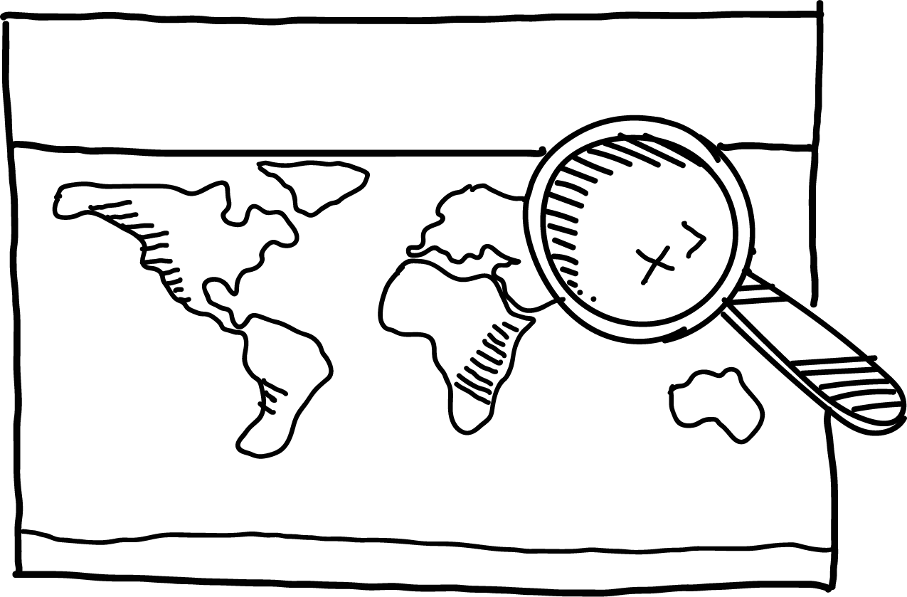
How to bring contour lines closer to children?
- Understanding contour lines and being able to read elevations on a map is often difficult not only for children.
- Thanks to this 3D aid, children can easily understand the difference, for example, between a valley and a mountain ridge, between a saddle and a gorge.
- Unpacking the tool, you will find forty cards of contours and height profiles and a set of twenty corresponding 3D relief models. You will also find four worksheets in it, which you will also receive with a QR code for later printing.
- Each card and 3D model contains a number that children use to check correctness. It is also suitable for activities directly in the field.


5,0
4 ratings
Add a rating
5
4
3
2
1
5
L
 Lenka
Lenka
 Lenka
Lenka
Sada vrstevnic je výbornou pomůckou, která dětem nabízí hmatatelný zážitek a umožňuje jim lépe si představit terénní útvary. Tato haptická složka výuky poskytuje praktický a zábavný způsob, jak zlepšit porozumění geografickým konceptům. Sady jsou doplněny o čtyři pracovní listy, které podporují interaktivní vzdělávání. Skvělým bonusem je možnost elektronického stažení těchto listů pro pozdější použití. Celkově je tato sada zajímavým nástrojem pro výuku nejen ve třídě.
5
MB
Michaela Brčáková
 Michaela Brčáková
Výborná pomůcka.//
Excellent aid.//
Ausgezeichnete Hilfe.//
5
EP
Eva Pekárková
 Eva Pekárková
Z
Zuzka z MAPUiTO
(Administrator)
 Zuzka z MAPUiTO
(Administrator)
Zuzka z MAPUiTO
(Administrator)
Moc děkujeme vážená paní Pekárková, Vaše kladné hodnocení nás vždycky nejvíc potěší!
5
M
Martina
 Martina
Provedení je pěkné. Děkuji za krásný produkt. //
The workmanship is nice. Thank you for a beautiful product. //
Die Verarbeitung ist gut. Vielen Dank für ein schönes Produkt.