Large map of Algeria
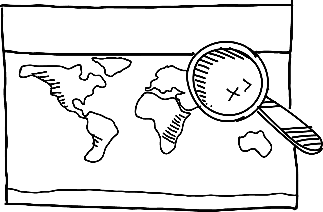
General geographical map of Algeria with detailed relief. The map shows the national borders and the geographical network, otherwise the map is unlabelled.
The map is suitable for group work in the classroom and as a basis for presentations, reports and key lessons. After use, children simply roll it up or hang it on the wall.
The map is printed on a plastic sheet that is very durable and can withstand increased stress. The map includes buttons for hanging. If it gets dirty, just wipe it with a damp cloth.
The size of the map is 155 x 120 cm and the scale of the map is 1:2 000 000.
| Category: | e-shop |
|---|


Why get maps from MAPUiTO?
The maps excel in display quality, you can see even the smallest details and underwater relief.
We produce large and durable maps that children can walk, run, work independently or in a group.
Connecting geography and learning. The maps are produced by a Montessori teacher and a physical geographer with many years of experience in geoinformatics systems.
New tools are invented together with teachers.
Lots of free supplementary materials. We create free supplementary worksheets for the maps. You can also look forward to 3D aids.
Family production for us means maximum commitment to you and attention to your requirements. We produce customized maps.
We care about the environment. We try to avoid unnecessary plastic in our packaging and use paper adhesive tapes. We print all our maps in the Czech Republic. We are always looking for greener ways to print maps. The material complies with the Reach Directive.
Be the first who will post an article to this item!


